Satellite · Ground · Public record

See what is being built before it is reported.

GroundAlpha watches 240 sites, starting with AI data-center campuses, from orbit, from the ground and from the public record. Every reading sits next to its source and its date.

Free to start: follow sites and get an email when a new pass, story or permit lands.

Project JupiterDoña Ana County, New Mexico
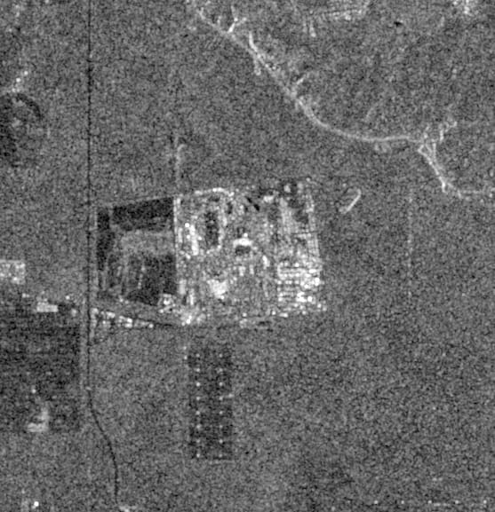
Sentinel-12026-10-0131.8183, -106.666064 passes on file
240
sites monitored
3,590
satellite passes on file
680
permits & county records
Jan 2025
watching since

Evidence, not assertions

Every claim, next to its evidence.

The same site, read two ways. Both halves below are live: a story published about a site we watch, and what we hold on it, each line dated.

What was reported

“Oracle issues force majeure notice to Blue Owl following series of setbacks at Project Jupiter data center campus – report”

Data Center Dynamics2026-09-24

A headline tells you what someone said. It rarely says when the site last looked like that.

What is on file

// Project Jupiter · Doña Ana County, New Mexico
latest pass      2026-10-01  Sentinel-1
passes on file   64         since 2025-09-24
news on file     3          site-specific first

Sentinel-1 · 2026-10-01Data Center Dynamics · 2026-09-24

Open the Project Jupiter page

Three independent sources

One place, read from three directions.

Orbit

Every radar pass, kept and dated

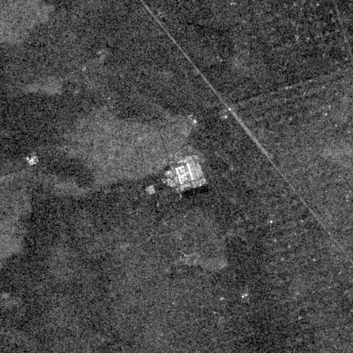
Sentinel-1 radar sees through cloud and at night. Each pass over a site is kept as a dated frame, and change is only measured between passes flown on the same orbit, so a new viewing angle never reads as new construction.
Ground

Photographs from the fence line

Vetted field scouts photograph sites on the ground. Every photograph carries where it was taken, which way it faced and when, and is reviewed before anyone sees it.

Record

The paper trail, attached

County permits, parcel records, filings and news are tied to the same site and dated, so the frame and the record that explains it sit side by side.

Method

How a site is read.

  1. 01

    Draw the site

    Each site is outlined from public sources such as permits, filings and facility records, and checked by an analyst before it is watched.

  2. 02

    Read every pass

    New radar passes are added as they land, and read against earlier passes from the same orbit.

  3. 03

    Check it on the ground

    Scouts photograph what the satellite cannot settle; news and county records are matched to the site as they appear.

  4. 04

    Tell you when it moves

    Follow a site and get an email when a new pass, story or permit lands there. At most one a day.

Pick a site. Follow it for free.

Passes on file since Jan 2025. New readings land as the satellites fly over.